State of Louisiana
Description: Bow: (GPS 54 52.911N 05 45.118W)
Hunter Rock: (GPS 54 52.913N 05 45.066W)
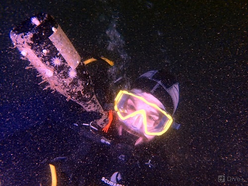
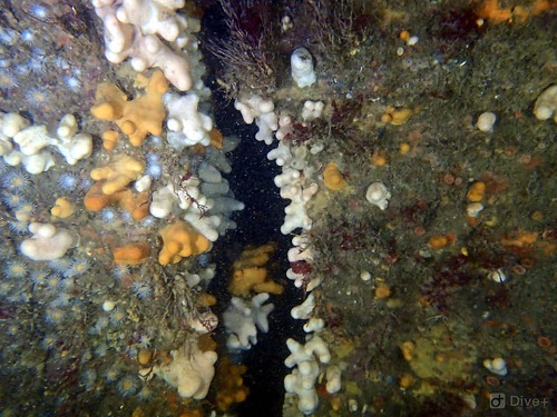
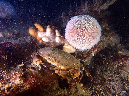
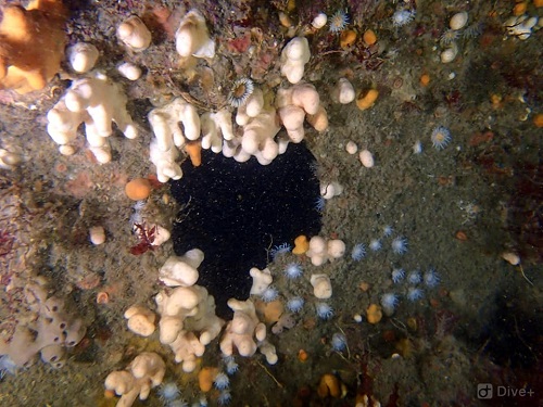
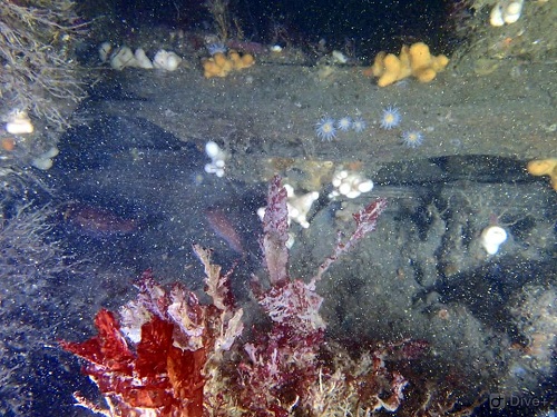
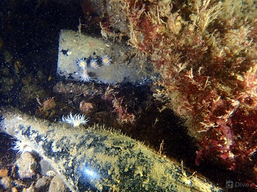
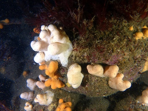
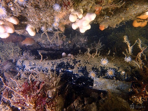
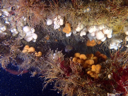
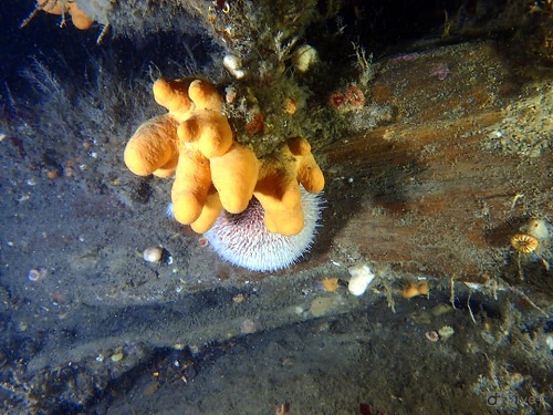
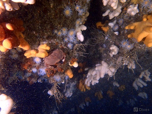
The State Steamship Company Liner the State of Louisiana was approaching Larne from Glasgow on 24th December 1878 with 17 passengers and 2000 tons of cargo. Unknown to Captain McGowan the buoy marking Hunter Rock off Larne had been dislodged. She grounded on Hunter Rock, and was badly holed and lay for 2 weeks before breaking into 3 parts and slipping beneath the waves. The bow and bridge sections lie on the south side of the highest point of the rock while the rear mast and stern section lies to the north of the rock (the top of the rock is 4m at low tide). The bow section is intact and lying on its port quarter in 24m of water. The bridge portion is sitting upright 15m from the rock and 15m eastern from the bow. The stern section lies in 25m of water at the base of the rock. This is one of the most interesting wrecks in the area. It abounds with sea life and visibility can be up to 20m. Beginners can work their way down the rock from 5m. Best dived 1 hour before high or low water Belfast. Launching facilities at Ballylumford, lslandmagee.
